Iwappara Mountain
The landform the resort sits on: the shape of the hill beyond the pistes, how steep it gets, and where it stands among the mountains on JapowDB.
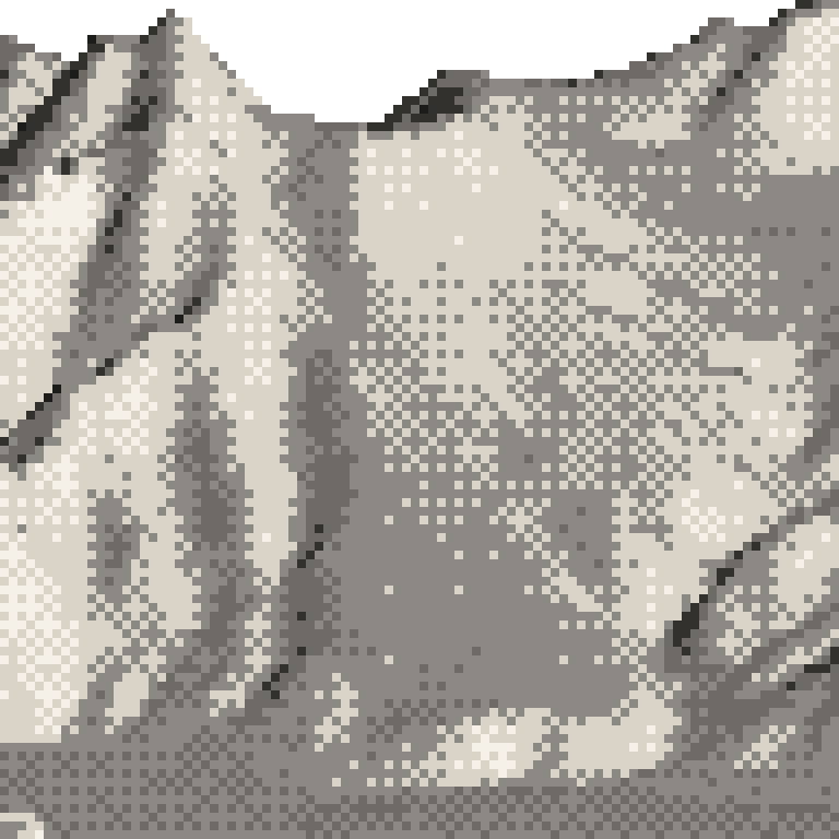
One hillside, and it falls away to the south-south-east.
That steep ground sits high on the mountain.
Where this vertical sits among the mountains on JapowDB
585 m, more than 22 of the 49 mountains on JapowDB.
The mountain
飯士山 (Iiji-san)
- Landform
- Iiji-san is a volcano. The national geological survey lists it as a composite volcano active in the Middle Pleistocene, roughly 300,000 to 200,000 years ago, with no eruption or volcanic disaster on record since, and the Meteorological Agency does not list it as active. The summit is 1,112 m. Iwappara covers the south side of the mountain, facing south-southeast, and the lifts stop at 985 m, 127 m below the summit. A ridge links the top of the runs to the summit and dips only about 13 m along the way. Maiko Snow Resort is on the north side of the same mountain. Its cone shape, likened to Mt Fuji, gives Iiji-san its other name, Ueda-Fuji.
- Rock
- One rock from the top of the runs to the bottom: andesite and basaltic andesite, as lava and as pyroclastic rock, laid down in the Middle Pleistocene by Iiji-san itself. Sampled at 985 m, 850 m, 709 m, 551 m and 419 m, it does not change once. The 589 m of lift-served vertical is all on the volcano's own flank. The rock stays the same while the ground steepens higher up, so the steeper upper runs come from the shape of the cone, which rises more sharply toward the summit.
From published sources, checked by hand · 2026-10-18
That ground is outside the ski area. It is not patrolled.
Measured
01
Which way it faces
Faces south-east.
Most of the mapped runs fall away toward the south-east.
02
How steep it gets
That steep ground sits high on the mountain.
Its steepest pitch measures 40.0°.
Its steepest tenth is steeper than 38 of the 49 mountains here that carry pitch data.
20.9° the steepest tenth of runs
03
How varied it is
Its runs range from 4.9° to 22.4°.
Half of them are gentler than 11.6°. Each mark is one run.
That spread is wider than 30 of the 48 mountains here that carry pitch data.
04
What grows on it
Mostly deciduous: broadleaf woods and larch. They stand bare through the winter, so you can see a long way into them.
Read off the national vegetation survey (2024 edition), from fieldwork in 2013.
The forest on this mountain, in detail