Tangram Ski Circus Mountain
The landform the resort sits on: the shape of the hill beyond the pistes, how steep it gets, and where it stands among the mountains on JapowDB.
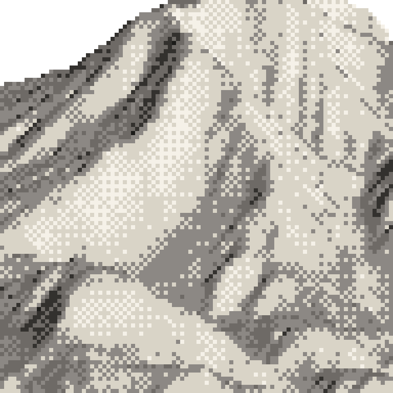
Broadly one hillside, leaning to the north-west.
Where this vertical sits among the mountains on JapowDB
520 m, more than 5 of the 36 mountains on JapowDB.
The mountain
斑尾山 (Madarao-yama)
- Landform
- A volcano, extinct for about half a million years. The Geological Survey lists Madarao as a stratovolcano with around seven lava domes on its lower flanks, active from roughly 700,000 to 500,000 years ago. The runs here come down its north-northwest side and stop about 70 m below the 1,381 m summit.
- Rock
- Andesite and basaltic andesite, lava flows with their own fragmented debris, all from the Middle Pleistocene. It reads the same at the top of the runs, mid-mountain and the base. The single broad face the page measures is one side of one volcano, not a patchwork of different rock.
From published sources, checked by hand · 2026-09-28
That ground is outside the ski area. It is not patrolled.
Measured
01
Which way it faces
Faces north-west.
Most of the mapped runs fall away toward the north-west.
02
How steep it gets
The steepest quarter of the runs faces north, a different way from the mountain overall.
Its steepest pitch measures 37.5°.
Its steepest tenth is steeper than 31 of the 35 mountains here that carry pitch data.
23.4° the steepest tenth of runs
03
How varied it is
Its runs range from 9.0° to 24.2°.
Half of them are gentler than 19.0°. Each mark is one run.
That spread is wider than 15 of the 35 mountains here that carry pitch data.
04
What grows on it
Mostly deciduous: broadleaf woods and larch. They stand bare through the winter, so you can see a long way into them.
Read off the national vegetation survey (2024 edition), from fieldwork in 2017, 2013 and 2002.
The forest on this mountain, in detail